I started with Lincoln's Tomb site.


From there I headed downtown to see more of the sites including his home. President Lincoln's home is set in a four-block National Park in the middle of town. The streets are covered in river gravel and the sidewalks are made of wood.


After seeing the Lincoln sites, it was time to refocus on Route 66 once again. Next stop - Shey's Service Station. I've seen a lot written and commented on Shey's. But, it was not open during the time that I was there. And frankly, I rode by it several times from the campground I stayed at to downtown and all things Lincoln. It wasn't until thinking once again about the Route that I noticed that this was an Icon. Just from the outside, it looks like a mass jumble. I hope that when open it would give the visitor a better impression.


Then it was off to the Cozy Drive In, home of the Cozy Dog, on my way out of town.


Just north of Litchfield I found this section of road which I thought to be: 'Old 66' running up the middle, Older 66 on the right and OLDEST on the left just from the appearance of the roadbeds. However, when I got in to Litchfield I ran in to a gentleman that stopped to speak with me as he had ridden Route 66 the previous year (west to east) and lived in Litchfield. The roadbed on the left was apparently only an access/service road to the Route. Route 66 was so busy in this section (and on south of Litchfield) that the right side roadbed was actually ONLY the south bound Route 66, the Mother Road was 4-laned through here it had so much traffic.


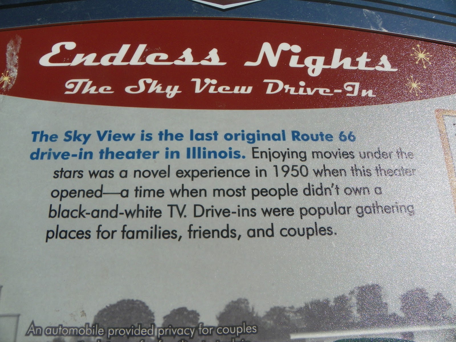
Entering Litchfield you first come to the Route 66 Drive In which is still operating.


Then it was a stop at the Ariston Cafe.


It was Mother's Day and people were lined up for the cafe to open its doors when I got there. So, I went back before leaving town the next morning and got this picture while they were closed.

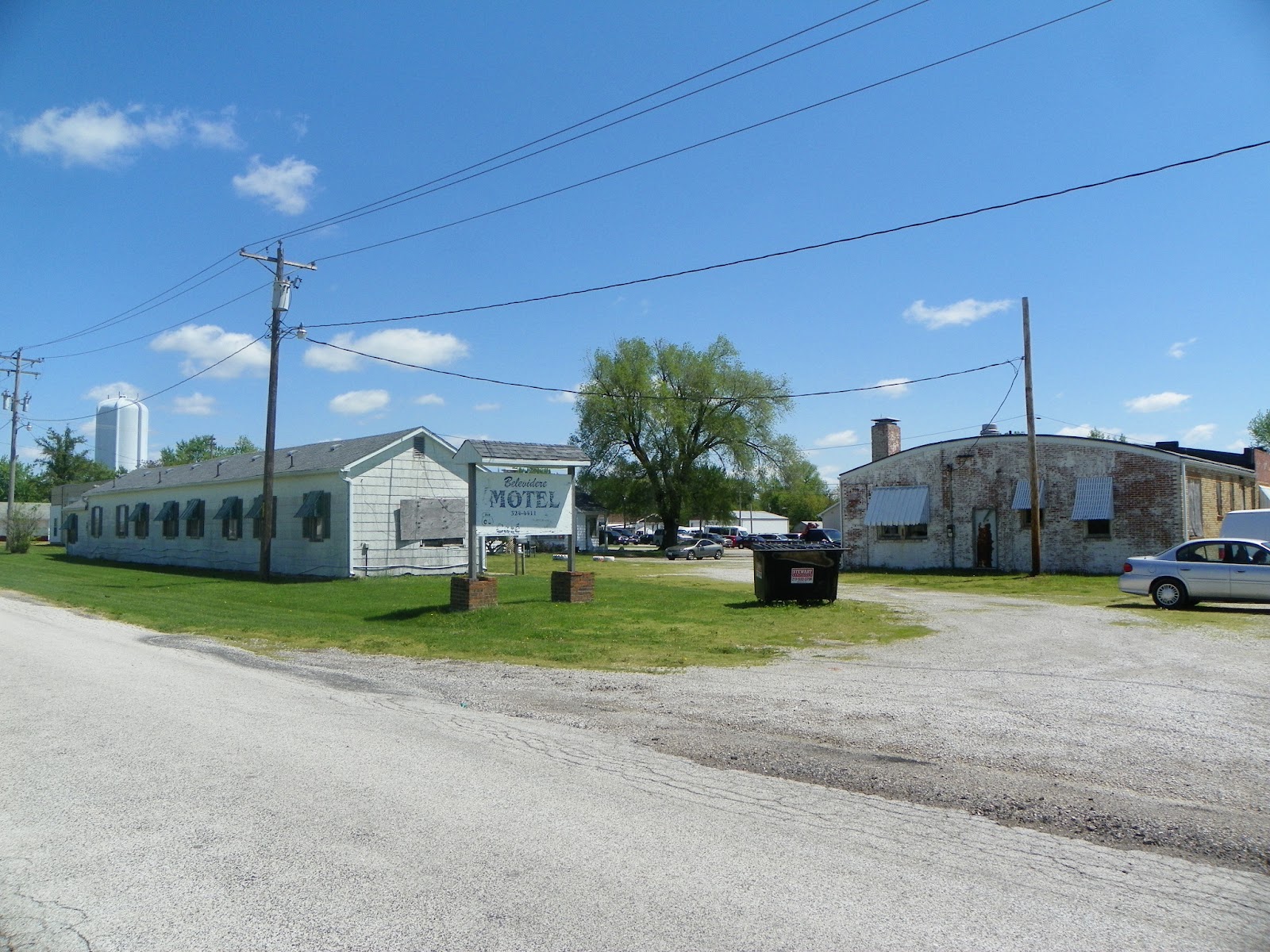
Staying on the oldest alignment of the Route I found these old businesses.


And downtown, I found...


They have built a new Route 66 Museum across from the Ariston Cafe.


And what do you think about this old soda machines. Yes, it works and was stocked. Of course, the price is a bit higher than back in the day at $1.00 for a soda.


From Litchfield it was then off to Mount Olive.


That my friends has me finally caught up to date. I hope you are enjoying these as much as I am seeing them in person.
No comments:
Post a Comment